What finding more fish looks like
Daily guide reports
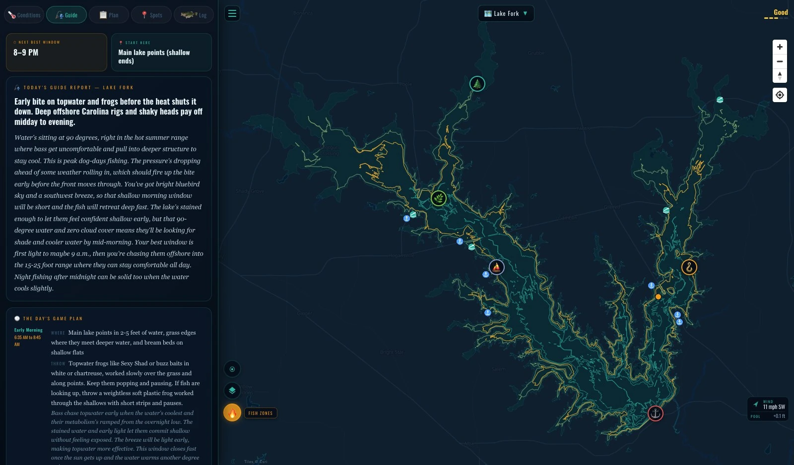
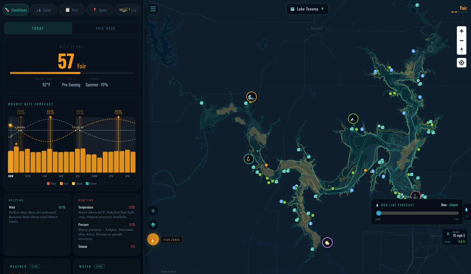
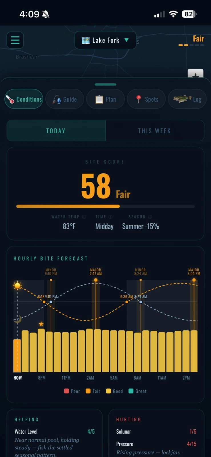
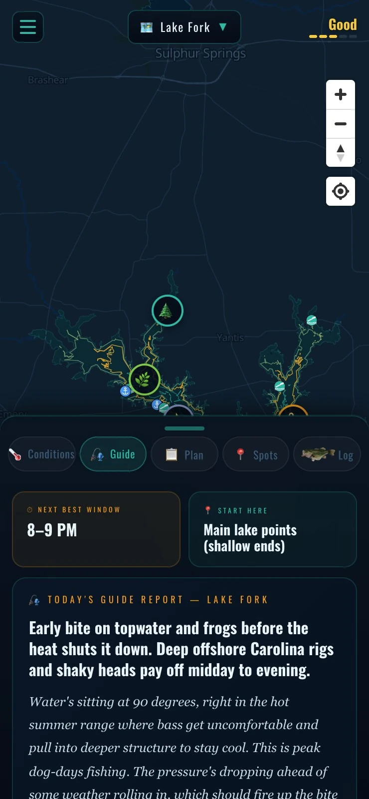
A fresh report for your lake, every day — where the bite is, what's working, and a game plan broken down hour by hour. This is a real one from Lake Fork: topwater early, then out to the channel swings and ledges.
Real-time conditions
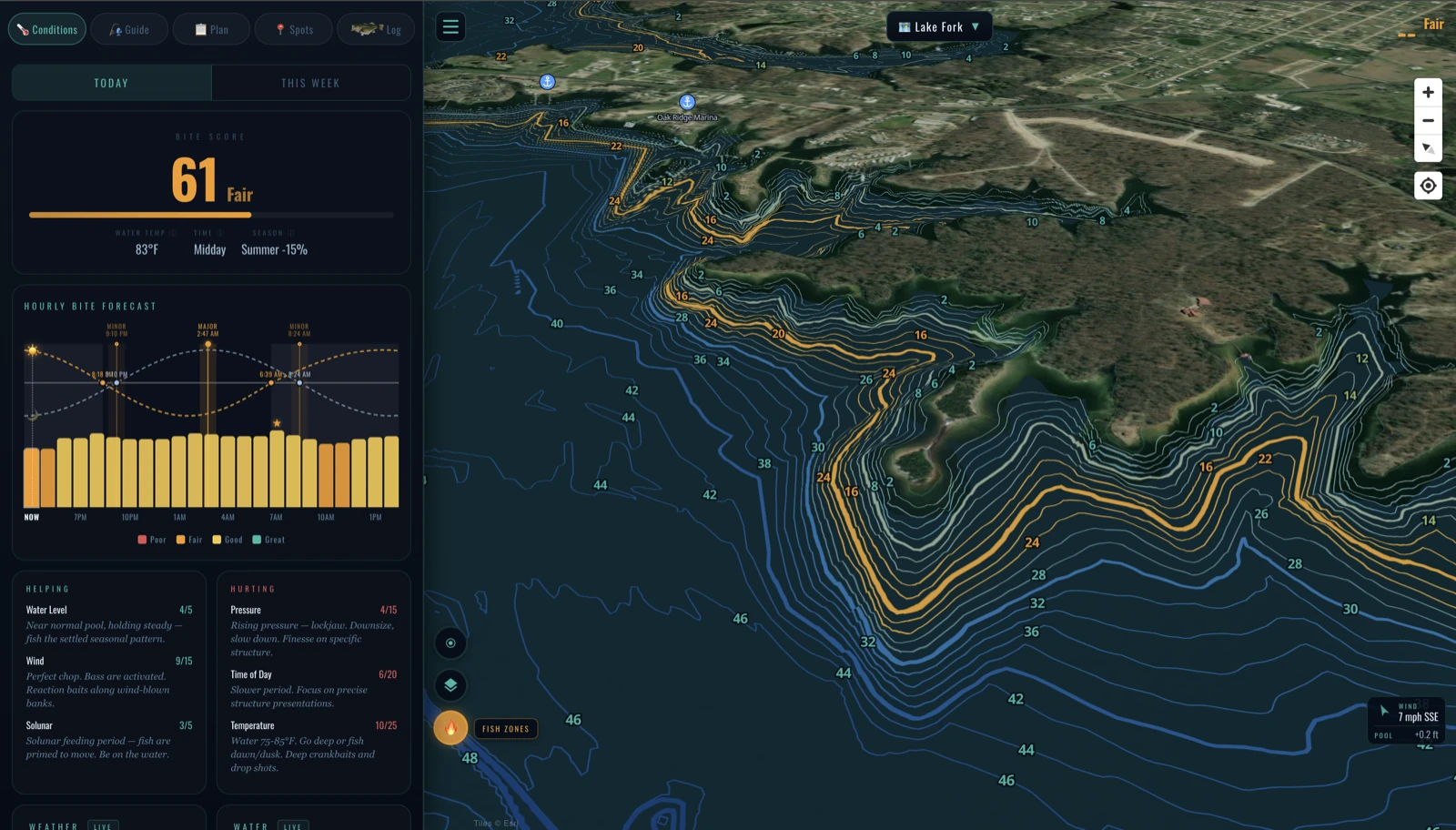
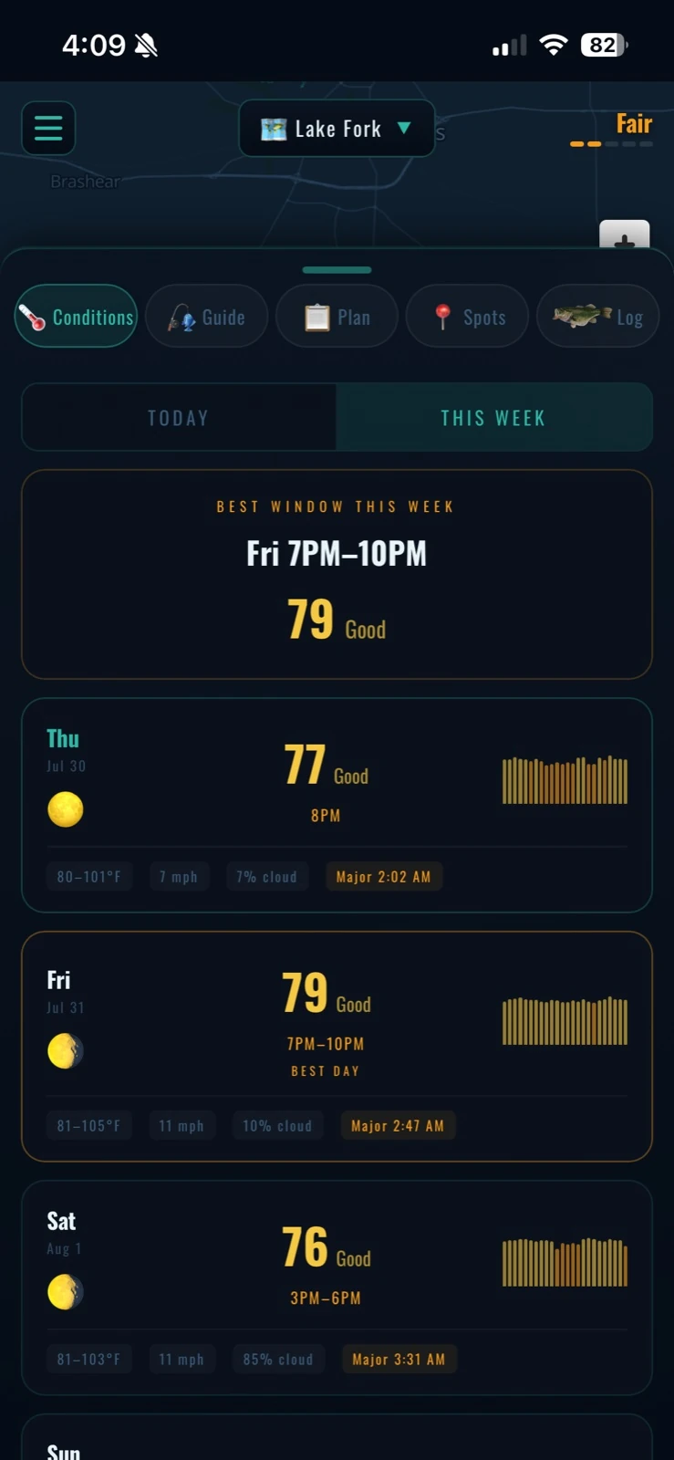
Live water temp, pool level, wind, and an hour-by-hour bite score that weighs weather, solunar windows, and pool trend — over survey-grade two-foot contours on one of Texas's premier big-bass factories. And it looks a week ahead: every day scored with its best window flagged, so you know the window is Friday 7 to 10 before Wednesday is done.

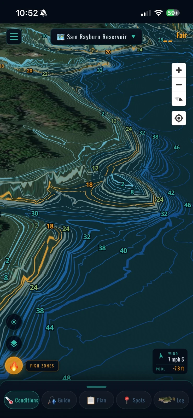
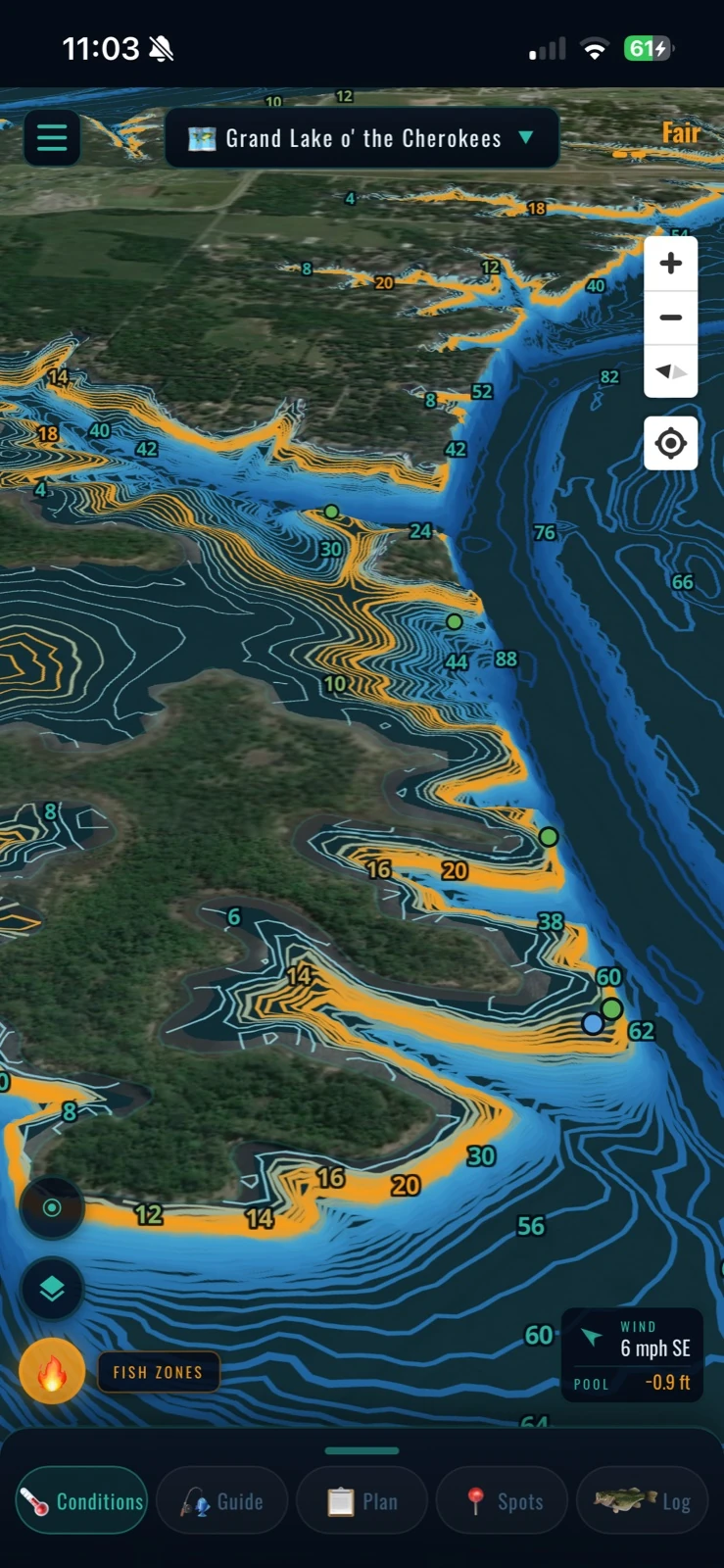
Survey-grade depth, in 3D
Real bathymetry — not traced contours. Flip on 3D Depth and read the creek channels, ledges, and drains the way the lake actually lays. This is Lake Fork's lakebed, every foot of it.
Submerged structure
Old roadbeds, flooded timber, homesteads, points, humps, and creek swings mapped and labeled so you can fish structure by depth band instead of hunting for it.

The lakebed, photographed dry
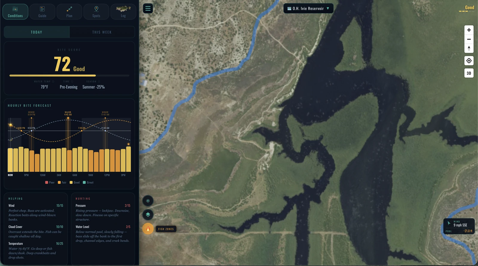
When a lake draws down, the bottom becomes a photograph. We pull the aerial flown while the water was off it, so the creek channels, roadbeds and hard spots you would normally be guessing at are simply there to look at — bare ground, from above. O.H. Ivie's frame caught 11,286 acres of exposed bed in August 2016. On 131 lakes and counting.
The land before the dam, in 3D
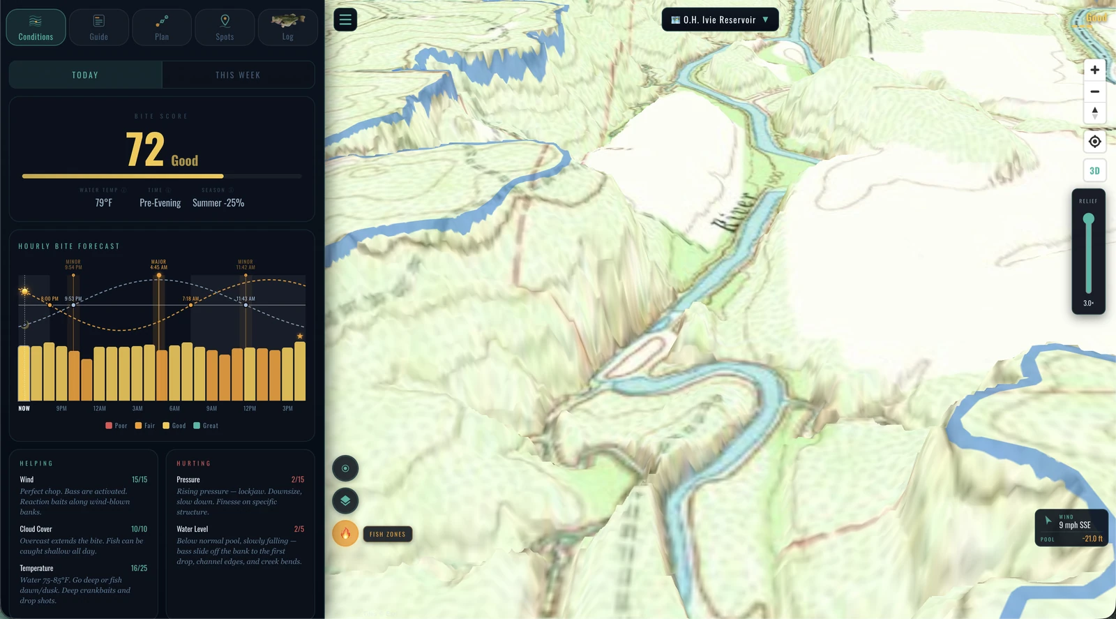
The USGS mapped this ground before there was a lake on it. Those sheets — Ivie's were surveyed between 1931 and 1967 — are laid back over the terrain, so you can stand the old river channel up and look at the valley your fish are holding in. 73 lakes carry theirs.
Fish attractors
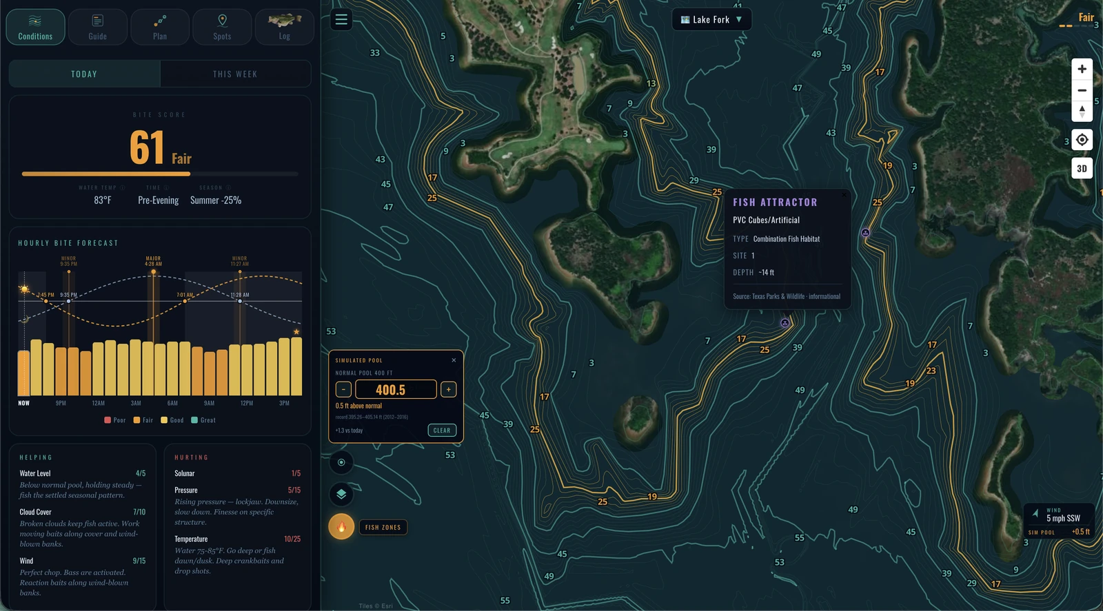
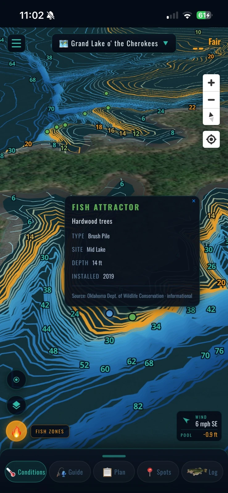
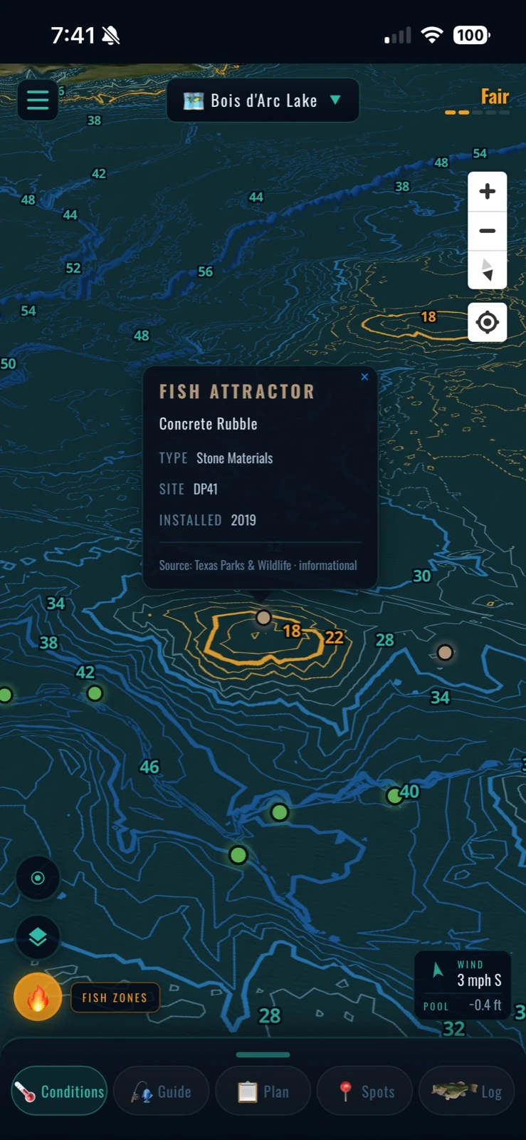
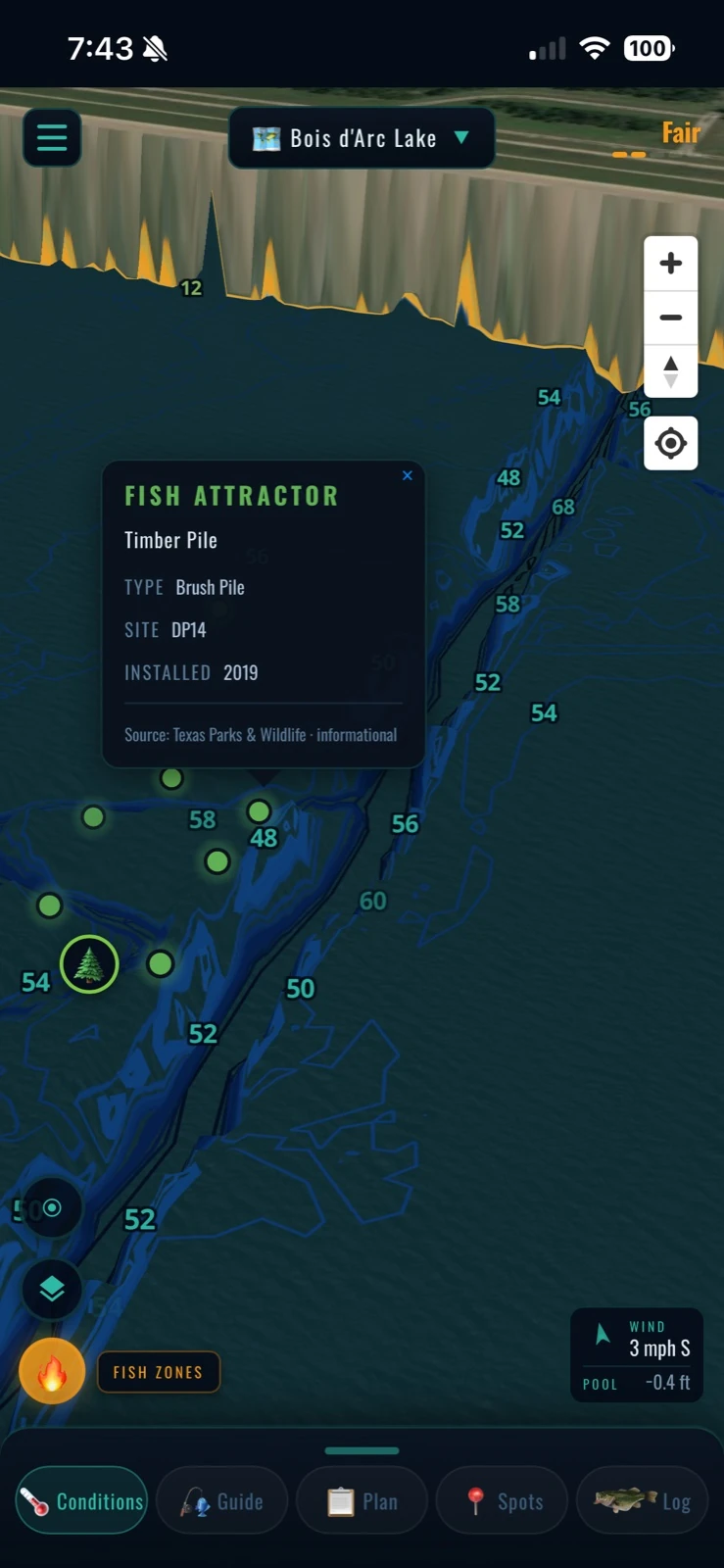
State-placed brush piles and habitat sites, straight from the agencies that sank them. Table Rock alone carries 2,441 marked sites — every one of them on your map.

Mud lines
Satellite-tracked water clarity shows where the mud line sets up — and the forecast slider shows where it's headed — so you can pick the color line you want to fish before you launch.
Simulated pool
Set the lake to any level and the shoreline moves with it. Put Fork half a foot over normal and you can see which contour becomes the bank, which flat goes under, and which brush pile ends up at the depth you actually want to fish — before you pick a ramp.
Routed trip plans
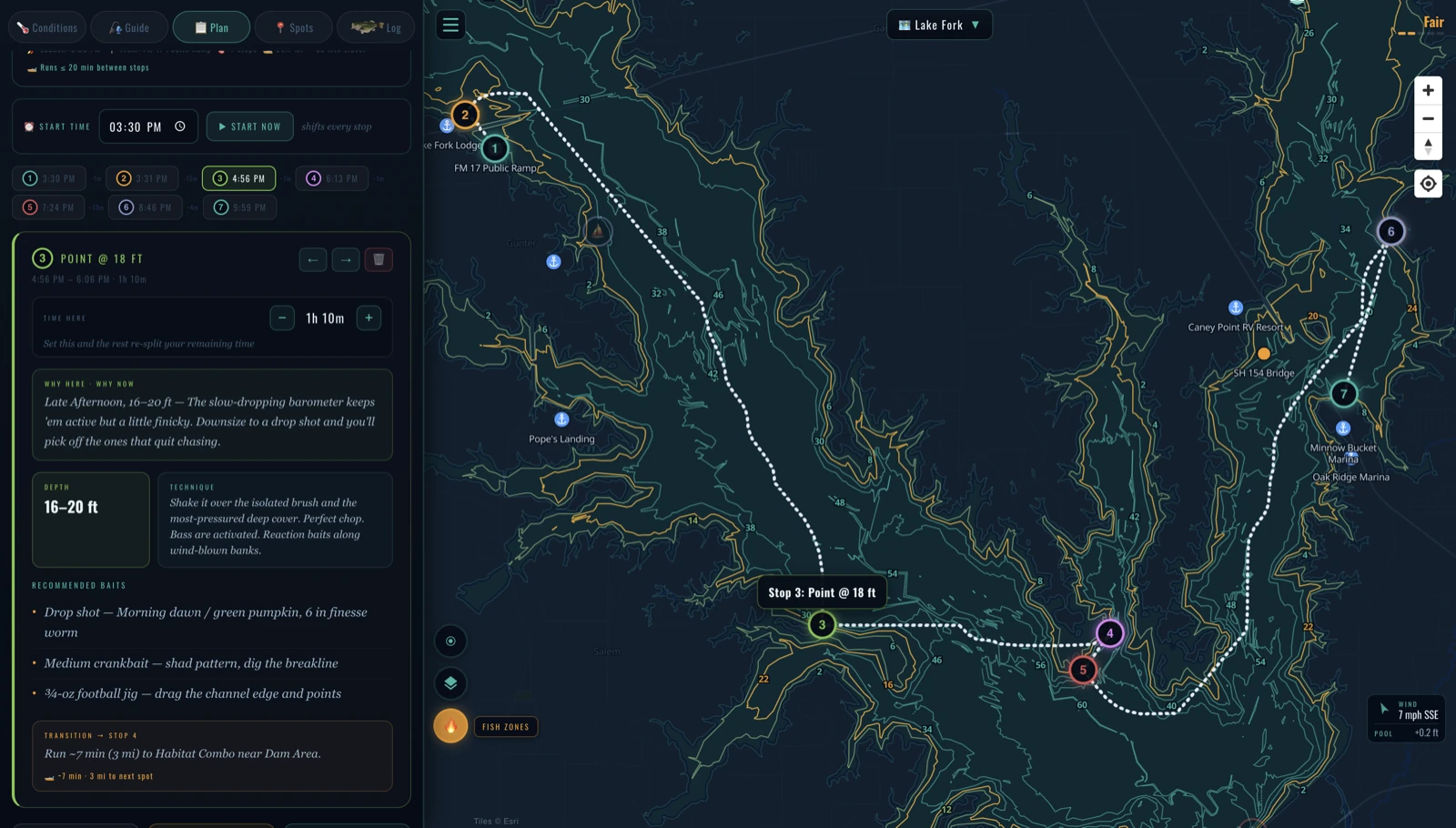
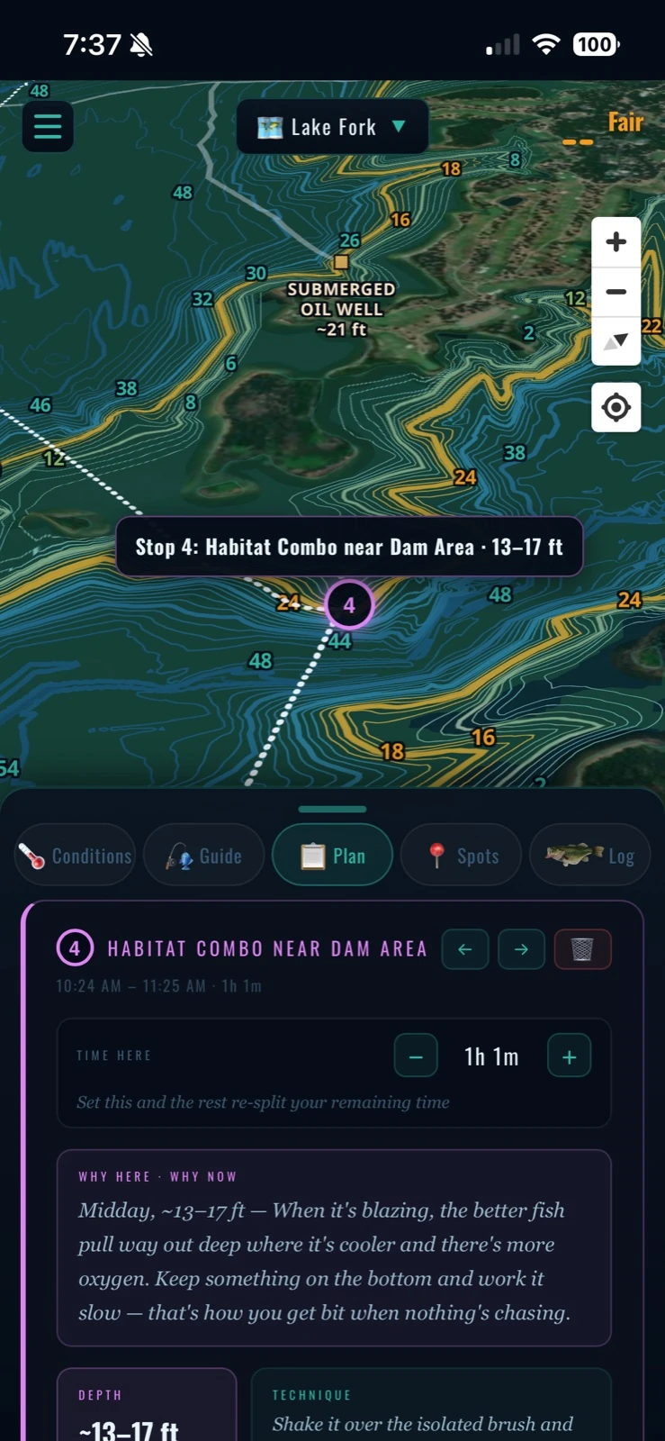
Pick a launch and how long you've got — your guide lays out a timed, routed day: which spots, in what order, when to move, and how long each run takes. Launch to last cast.
In your hand at the lake
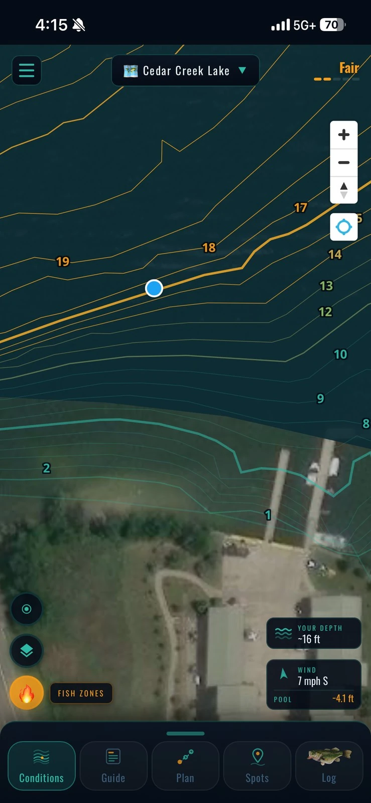
Straight off the phone, on the water — full 3D depth, every contour, your plan, one thumb away. Complete understanding of the lake is how you find more fish.
The bottom has stories — we mark them
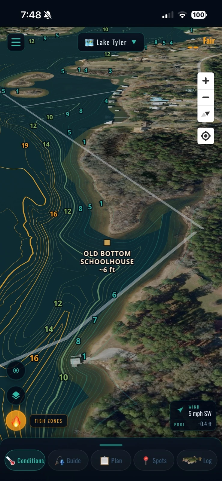
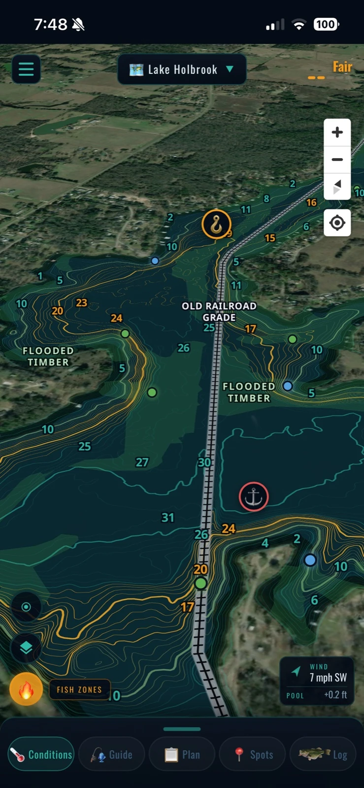
Old schoolhouses, submerged oil wells, railroad grades, flooded timber, and agency brush piles with type, depth, and install year. The stuff that holds fish, named and on your map.
Where you are, and how deep it really is
GPS puts your boat on the contours in real time, so you can see the ledge you are easing onto instead of guessing at it. And every depth is corrected to the lake's pool level today: when the water is down four feet, a 17-foot hump reads 13, the same number your depthfinder is showing you.
Log it, and the lake gets sharper
Log your catches with the bait, the spot, and what they hit, plus action and after-action notes from the day. Every entry sharpens your own read on where the big ones are holding and what they are hungry for, trip after trip.
Find more fish. Free account · works on your phone at the lake